Selected work

Spatial data platforms, 3D maps in the browser, and maps that fit into what you already have. Three client projects, shown with the clients’ permission and without identifying details.

Environmental data platform

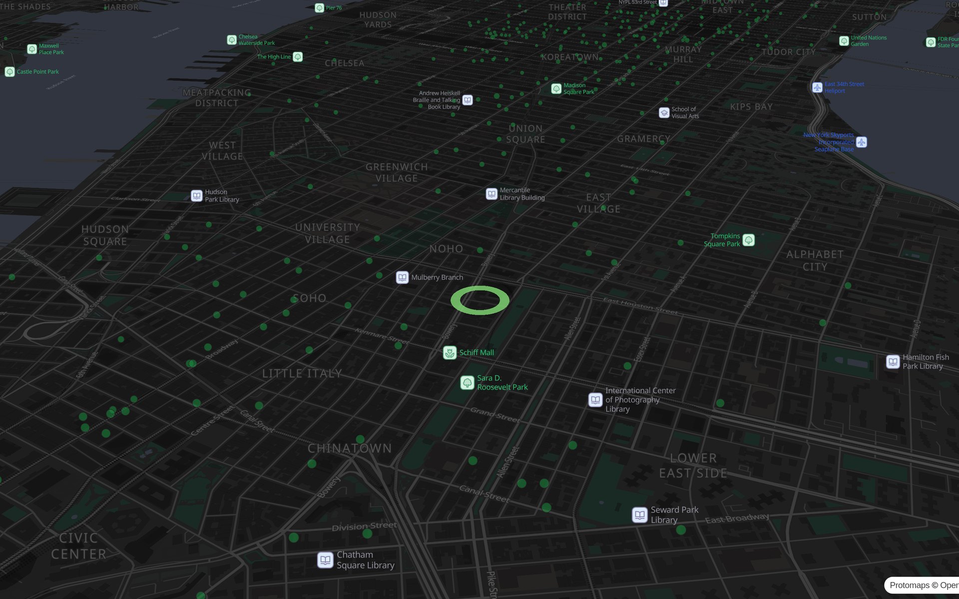
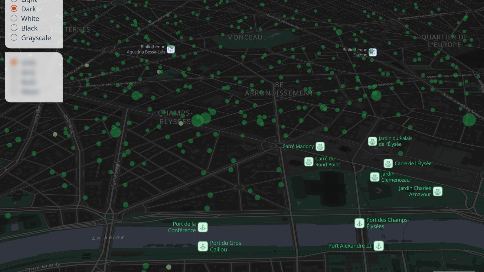
Making 2 million companies’ environmental footprint explorable

A research organization focused on environmental data had millions of company records and a live website, but no way to explore them on a map. I built the geospatial and frontend layer end to end, from a global view down to a single company, on an open-source stack the organization can afford to run.

Scope
Geospatial architecture, frontend engineering, data pipeline, infrastructure
Stack
MapLibre GL, PMTiles, React, Vue/Nuxt, GraphQL, PostgreSQL, Cloudflare
Sector
Environmental research
Making 2 million companies’ environmental footprint explorable
1-minute demo

Impact

2M+ companies, interactive and in production, delivered over several phases. In the client’s words: “Working with Alexa was one of the best decisions we’ve ever made.”

How it was built
Marine spatial platform

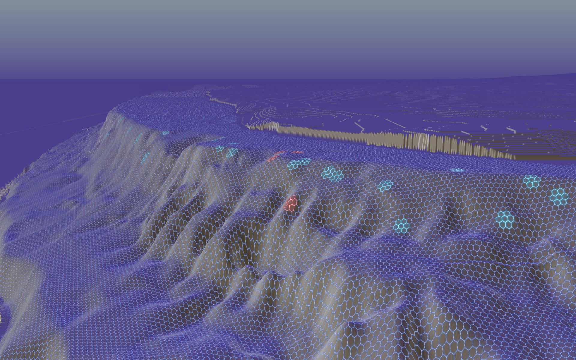
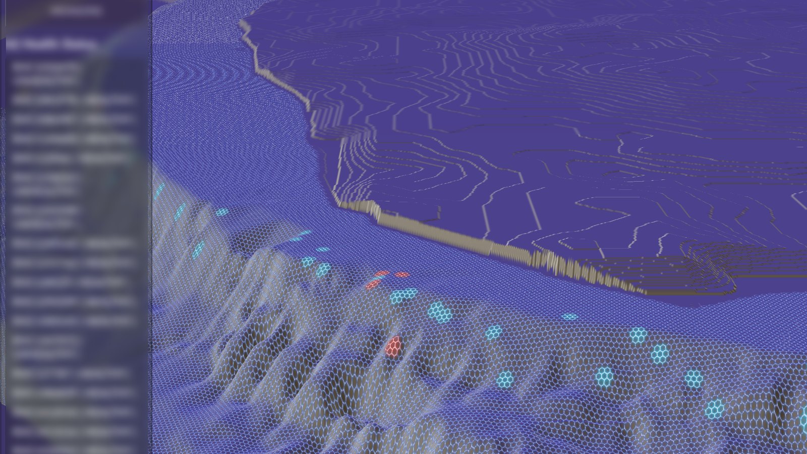
From survey spreadsheets to a living 3D reef

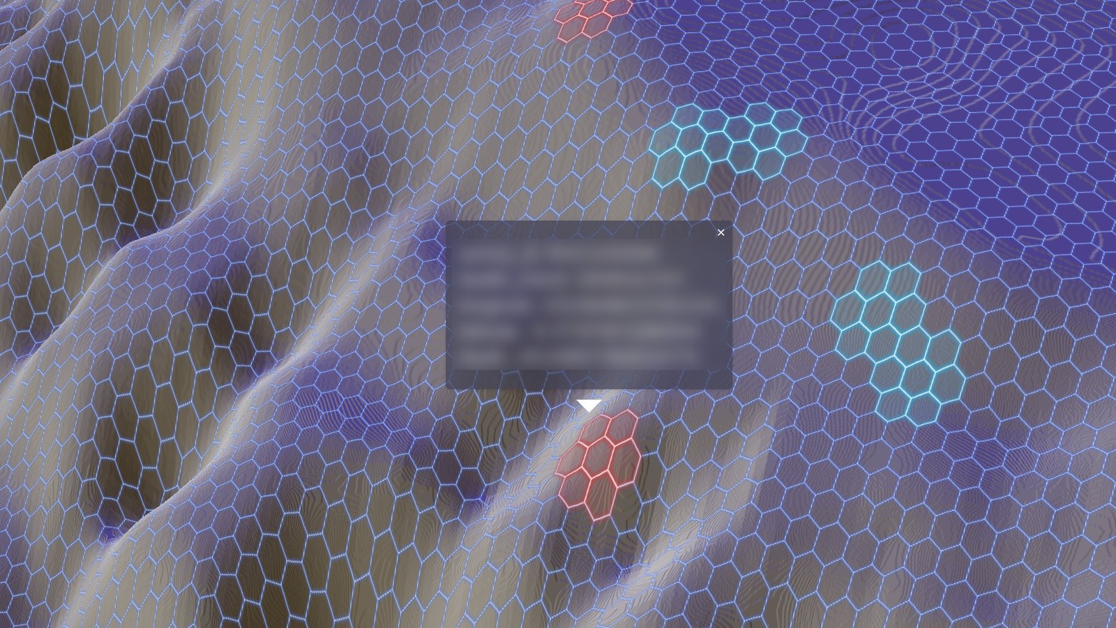
A conservation-focused dive operation surveyed its reef regularly, but the results lived in spreadsheets next to a 3D bathymetry model nobody could explore. I built a platform that puts the survey data on the reef itself, readable by people who will never open a GIS package.

Scope
GIS data architecture, 3D web development, hosting
Stack
QGIS, MapLibre GL, Three.js, React, TypeScript, PMTiles, AWS, Cloudflare
Sector
Marine conservation
From survey spreadsheets to a living 3D reef
1-minute demo

Impact

15+ months in production. Moving from 3D Tiles to height tiles plus PMTiles kept delivery fast and hosting costs flat, and the team updates the data from their own sheets, without a developer.

How it was built

3D heritage map

32 landmarks, one living map

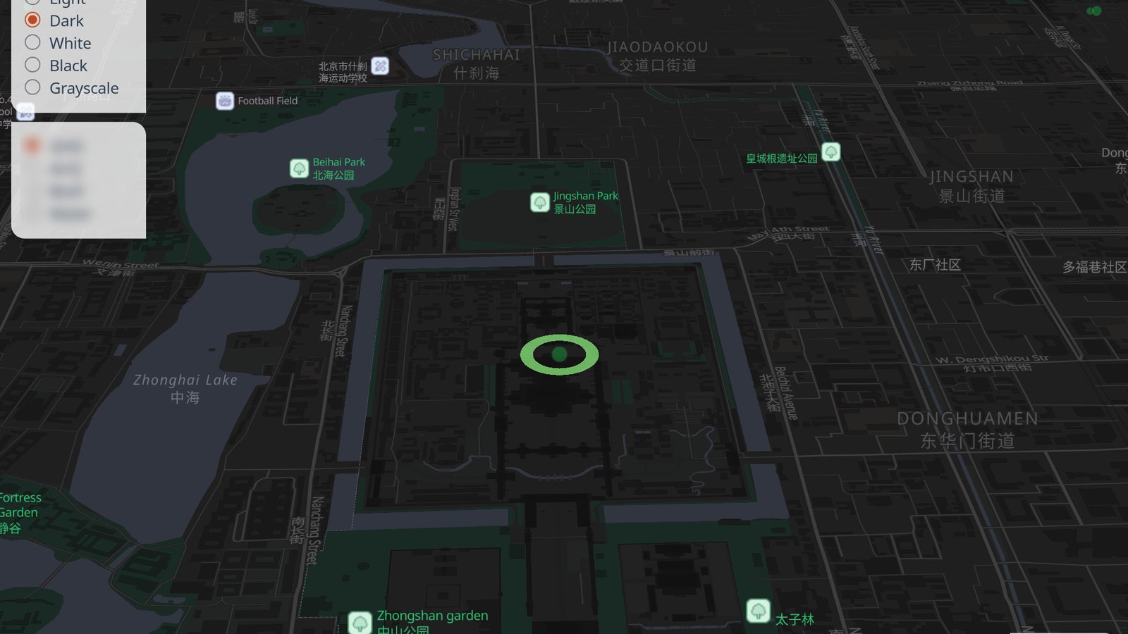
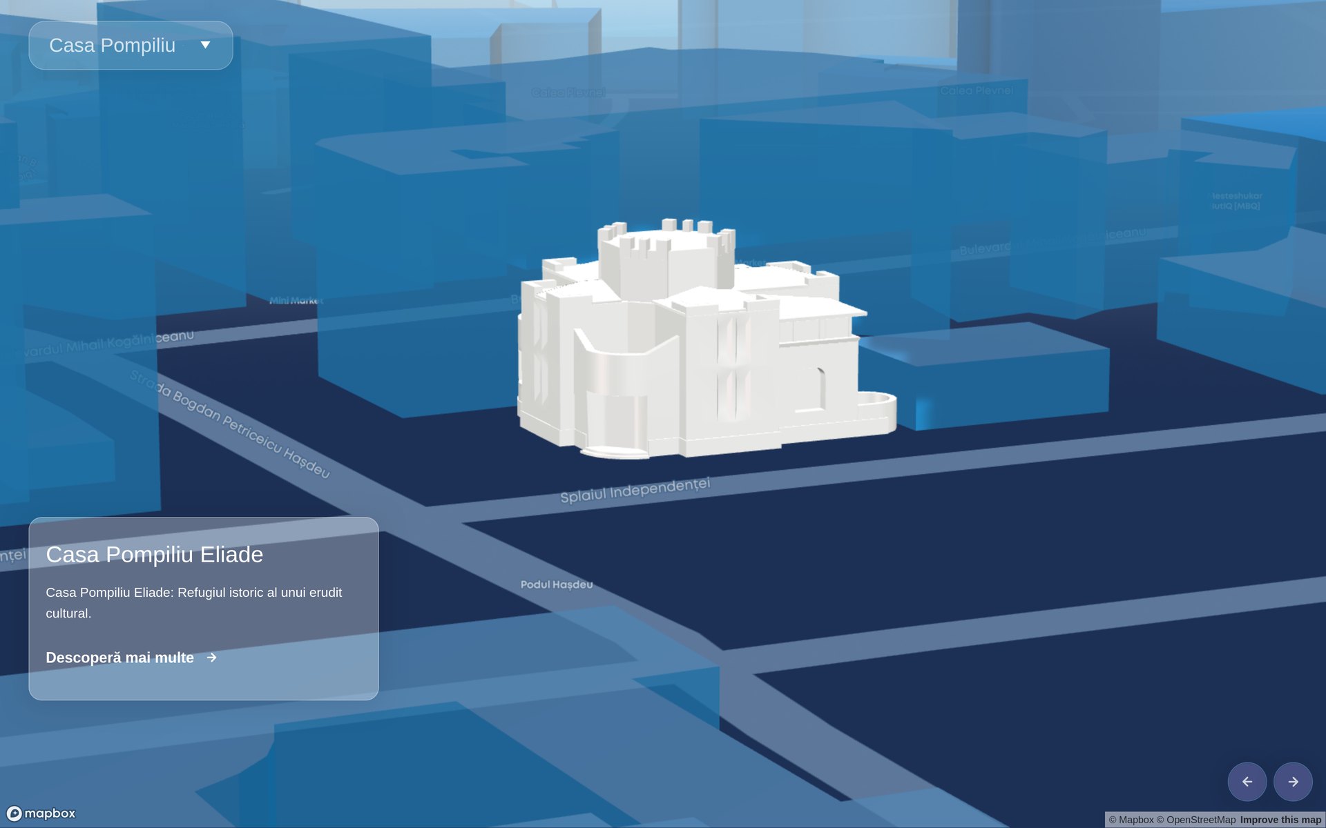
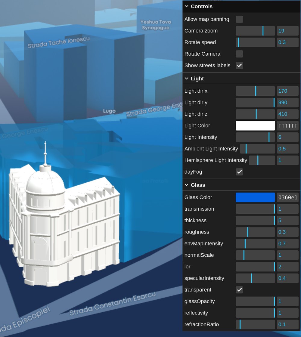
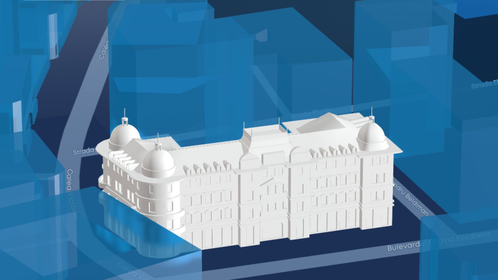
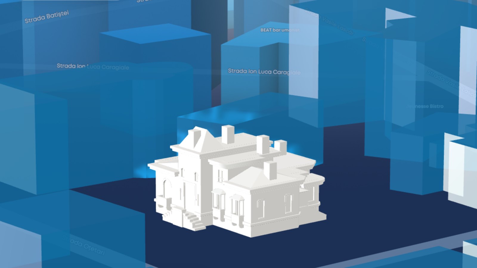
A heritage awareness campaign wanted people to see its monuments, not scroll past them. After a paid consultation, I built a custom Three.js layer inside Mapbox GL: about 32 detailed 3D landmarks on the real city map, guided navigation between them, and a build the client embeds in its own CMS.

Scope
Technical consultation, 3D web development, CMS integration
Stack
Three.js, Mapbox GL JS, glTF, QGIS, React
Sector
Culture and heritage campaign
32 landmarks, one living map
1-minute demo

Impact

Both phases rated 5.0: “Insightful and practical” for the consultation and “Really cool project, highly recommend” for the delivery. 30+ models, lazy-loaded, at 50+ FPS.

How it was built

Have spatial data your users cannot see yet?

Send me a link to your site or a sample of your data, and I will tell you what I would do with it before we talk about a contract.